En
Log in
All resources
Create a design
Tools
7,118 Free Images of Engraved Maps
engraving
grabados
cartography
cartografía
fondo antiguo
cartografía, mapas | cartography, maps
chalcography
calcografía
libros del siglo xviii
italy
cartography
maps
cartography
maps
cartography
maps
cartography
maps
cartography
maps
cartography
maps
mexico
maps
cartography
maps
cartography
maps
africa
maps
africa
maps
maps
city
cartography
maps
cartography
maps
cartography
maps
cartography
maps
cartography
maps
cartography
maps
cartography
maps
a map of the british empire in america with the french and spanish settlements adjacent thereto
1730s maps of central america
a map of the british empire in america with the french and spanish settlements adjacent thereto
1730s maps of the caribbean
historical
history
swords
maps
ducatus sleswici pars borealis
maps by johannes mejer
a voyage to abyssinia, and travels into the interior of that country, executed under the orders of the british government in the years 1809 & 1810
john outhett
antoine-françois tardieu
1800s maps of hispaniola
maps by pieter mortier
le neptune francois
a map of the british empire in america with the french and spanish settlements adjacent thereto
1730s maps of the caribbean
cartography
maps
cartography
maps
cartography
maps
cartography
maps
cartography
maps
cartography
maps
cartography
maps
cartography
maps
cartography
maps
cartography
maps
cartography
maps
cartography
maps
cartography
maps
cartography
maps
cartography
maps
africa
maps
africa
maps
uruguay
maps
cartography
maps
cartography
maps
cartography
maps
cartography
maps
cartography
maps
cartography
maps
historical sketch book and guide to new orleans and environs (1885)
houses in new orleans
ducatus sleswici pars borealis
maps by johannes mejer
amos doolittle
ralph earl
antoine-françois tardieu
1800s maps of hispaniola
cartography
maps
cartography
maps
cartography
maps
cartography
maps
cartography
maps
cartography
maps
cartography
maps
cartography
maps
cartography
maps
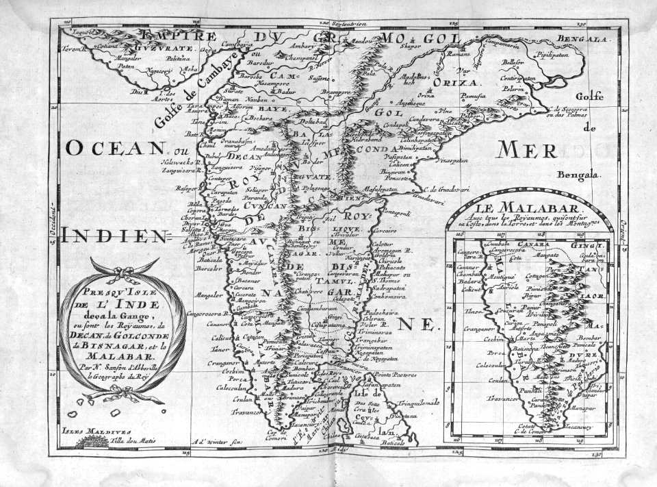
india
maps
atlas ou representation du monde universel t. 2 (1633)
17th-century maps of the strait of magellan
atlas ou representation du monde universel t. 2 (1633)
maps of bohemia by gerardus mercator
atlas maior, vol 2 (sweden, russia, poland, eastern europe, and greece) - joan blaeu, 1667 - bl 114.h(star).2
copper engraving print
lehen (freiburg im breisgau)
baroque
cartography
maps
cartography
maps
india
maps
cartography
maps
africa
maps
cartography
maps
cartography
maps
cartography
maps
cartography
maps
cartography
maps
cartography
maps
cartography
maps
cartography
maps
1650s maps of bremen (state)
baroque
maps
moon
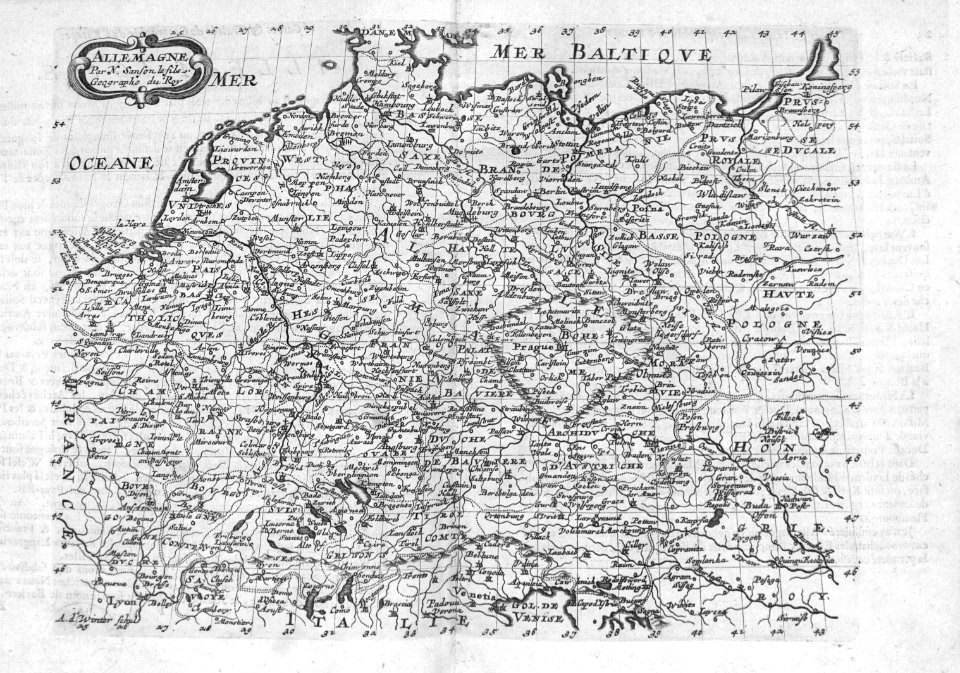
maps of the course of the rhine by guillaume sanson
robert cordier (engraver)
a plan of the operations of the king's army under the command of general sr. william howe, k.b. in new york and east new jersey, against the american forces commanded by general washington, from the 12th. of october, to the 28th. of november 1776
battle of white plains
illustration
maps
illustration
maps
illustration
maps
illustration
maps
illustration
maps
illustration
maps
illustration
maps
illustration
maps
illustration
maps
illustration
maps
illustration
maps
illustration
maps
illustration
maps
5101 - 5200 of 7,118
Next page
/ 72